Bangladesh is likely to face onslaught of severe cyclonic storm ‘Bulbul’, as it may hit the country’s southwest coast by midnight today, Bangladesh Metrological Department (BMD) said on Thursday. The country may escape the fury of the rushing cyclonic storm only if it changes its direction.
It predicted light to moderate rainfall at places over Khulna, Barishal, Chattogram, Rajshahi, Mymensingh and Sylhet divisions may occur due to the severe cyclonic storm Bulbul. Besides, when the cyclone will cross the country, the low-lying areas of the southwest coastal region will also be inundated by storm surge of 5-7 feet high above normal astronomical tide.
“Due to severe cyclonic storm ‘Bulbul’ over the central bay, light to moderate rainfall is likely to occur at places over Khulna, Barishal, Chattogram, Rajshahi, Mymensingh and Sylhet divisions,” an official of BMD said. However, another official talking to media said the cyclonic storm ‘Bulbul’ is likely to hit Bangladesh coast at any time today.
Shahana Sultana, a meteorologist of BMD, said they cannot say the exact time that when Bulbul will hit the Bangladesh coast. “If the cyclonic storm does not change its direction, it may hit the Bangladesh coast anytime on Saturday,” she cautioned. “The cyclonic storm is likely to hit Bangladesh between late evening and midnight on Saturday,” Md. Enamur Rahman, State Minister for Ministry of Disaster Management and Relief said.
He said this while addressing a press briefing over the government preparations to tackle the severe cyclonic storm “Bulbul” at Secretariat in the city. “The storm ‘Bulbul’ will cross the country over the night and the low-lying areas of the coastal region also will be inundated by storm surge of 5-7 feet high above normal astronomical tide”, said Enamur Rahman..
He said country’s southeast coastal districts—Khulna, Satkhira, Bagerhat, Barishal, Barguna, Patuakhali, Pirojpur and Bhola-- are likely to be affected by the storm. “Meanwhile, the government has taken all out preparations to tackle the ‘Bulbul’ which took the form of a severe cyclonic storm,” the state minister for Disaster Management and Relief said.
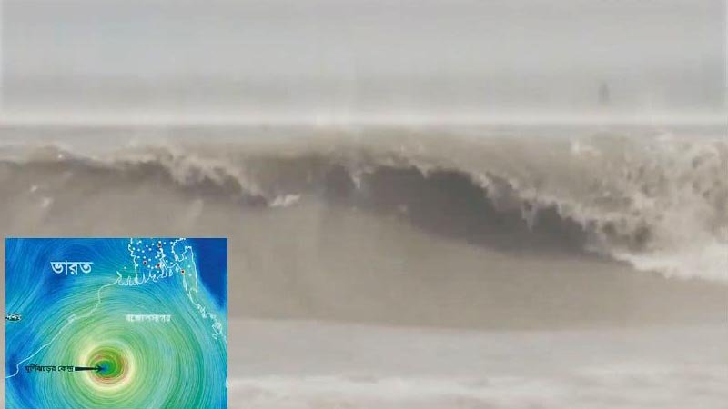
Meanwhile, the BMD in its special weather bulletin, sl no: 16 (sixteen) on Friday afternoon said the severe cyclonic storm “Bulbul” over west-central bay and adjoining east-central bay moved north-northwestwards over the same area (lat. 16.8°n, long. 87.6°e) and was centred at 06 am on Friday about 760 km southwest of Chattogram Port, 710 km southwest of Cox’s Bazar Port, 665 km southwest of Mongla port and 650 km southwest of Payra Port.
It is likely to intensify further and move in a north- northwesterly direction. Under the peripheral influence of the severe cyclonic storm ‘Bulbul’ gusty/squally wind may affect the maritime ports, north bay and coastal areas of Bangladesh. Maximum sustained wind speed within 64 kms of the severe cyclone centre is about 90 kph rising to 110 kph in gusts/squalls. Sea will remain very high near the severe cyclone centre.
Maritime ports of Chattogram, Cox’s Bazar, Mongla and Payra have been advised to lower local cautionary signal no three but instead hoist local warning signal no. four. All fishing boats and trawlers over North Bay have been advised to take shelter immediately and remain in shelter till further notice.
Meanwhile, country’s southwest coastal areas including Khulna and Bagerhat started experiencing rain since yesterday morning due to the influence of the cyclonic storm.
Related News: Typhoon Hagibis: Japan deploys 110,000 rescuers after worst storm in decades