Bangladesh Digital Survey is nationally an important event in Bangladesh, since, through this it will be possible to prevent the long-term land related harassment and huge expenditure of the citizens of the country.
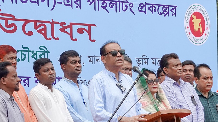
Land Minister Saifuzzaman Chowdhury said this during the inauguration of the piloting of the Bangladesh Digital Survey (BDS) in the field adjacent to the Deputy Commissioner's office in Patuakhali last Wednesday.
If a land survey (cadastral survey) is not done properly it creates a long-term crisis at the individual and family level. One has to go to the litigation process for the settlement if the land is recorded in name of another person or in the name of the government, other than the true owner, due to a deliberate incorrect survey in collusion with dishonest land owners, touts or land grabbers or survey error for mere carelessness.
Many land-related cases are not settled even after 50-60 years. Many families are suffering economically from generation to generation in pursuing such cases. Sometimes, the cost of a lawsuit exceeds the monthly economic income of the plaintiff/defendant parties. Many families are left destitute because of the catastrophic lawsuit expenditure. One of the reasons for these lawsuits is the incorrect land survey. Besides, another problem with conventional land surveying is its long duration. It takes over 20-25 years for each survey to be completed for various reasons.
Agrarian-land and aquarian reform is a must to ensure the rights of the poor, landless, marginal, women, and ethnically minor peoples in the ownership of and access to land - and this requires an accurate survey. Accurate and precise surveys are essential to the distribution of Khas land and Char land to the poor and marginalized people; returning back enemy and vested property; addressing the rightful interest of the ethnically minor peoples; ensuring women's right to land; closing the loopholes in land laws to serve the deprived mass, etc.
Prime Minister Sheikh Hasina during his visit to the Ministry of Lands ordered to carry out a digital survey to reduce the length of time in survey work and the harassment of people. Thus, the ministry of Land has taken this initiative.
The main objective of the Bangladesh Digital Survey is to complete the cadastral survey in entire Bangladesh in a short time and reduce the need for field surveys. Apart from this, there will be no need for a revisional survey for the convenience of digital map partition if there is no major land deviation due to natural reasons in any area. The geo-referenced Mauza map determined under this project will be provided to the 'Land Management Automation' project. After the sale of the land, the map boundaries will change along with the change in the Mutated Record of Rights.
The amount of land, length, width, size, etc. of land can be get from the BDS map. Measurement, demarcation and division of any plot of land could be possible by taking a coordinate value of the reference, distance measurement of any plot on the mouza map, length, and dimensions of the plot records, and four coordinate values of the four corners. There will be no need to install any reference geodetic pillar.
It will be possible to conduct a digital survey of Bangladesh in a very short time, instead of 20-25 years which is the usual time for a conventional land survey. A draft map will be prepared and put on the website so that the land owner can immediately file an objection if the amount of land is more or less by looking at the map of his land from anywhere in the world as soon as the survey begins. There will be transparency in the survey, the lawsuit will be reduced, and the suffering of the people will also be reduced Since all the information in the digital survey is digital and accurate. It will be possible to stop government land embezzlement by fraud during land registration and mutation.
The Ministry of Land took the initiative of the Bangladesh Digital Survey at a cost of Tk 1212.55 crore under the direction of the Prime Minister with the government's own funding to achieve the capability of digital surveying across the country. This survey program will be conducted through a 5-year project called 'Strengthening Operational Capacity of the Department of Land Record and Surveys (DLR&S) for Digital Survey Project'. In a relatively short period, the latest technology including Satellites, Drones/UAVs, and Ground Control Stations will be used in Bangladesh Digital Survey to accurately survey the land digitally.
For this reason, 2,60,310 geo-referencing points will be determined through a geodetic survey at the mouza level of 470 Upazilas across the country except for the three hill districts and a database of 1,33,188 mouza maps will be prepared. If the land has been previously surveyed, a new Geo Reference Mauza map will be prepared by superimposing the previous map with the newly prepared digitized map of the said survey. Besides, the Mauza map will also be synchronized with the satellite images collected from the 'Mouza & Plot Based National Digital Land Zoning Project'.